



Brisbane City Council describes Mt Coot-tha Reserve, also known as Mt Coot-tha Forest, as covering more than 1,600 hectares. It lists more than 18.5 km of easy, moderate and difficult tracks. This guide summarises the walking tracks on the council’s own pages. Distances and times below are as listed there, checked 9 November 2026, and council pages can change. For the Botanic Gardens at the foot of the mountain see the Brisbane Botanic Gardens Mount Coot-tha guide, and for the mountain’s name and story see Mount Coot-tha History and Name; this article stays with the tracks.
Short and gentler options
Ghost Hole Track. The council walking tracks page lists it at 650 m (15 minutes). The council’s beginner’s guide says walkers can view traces of the old gold mines along it.
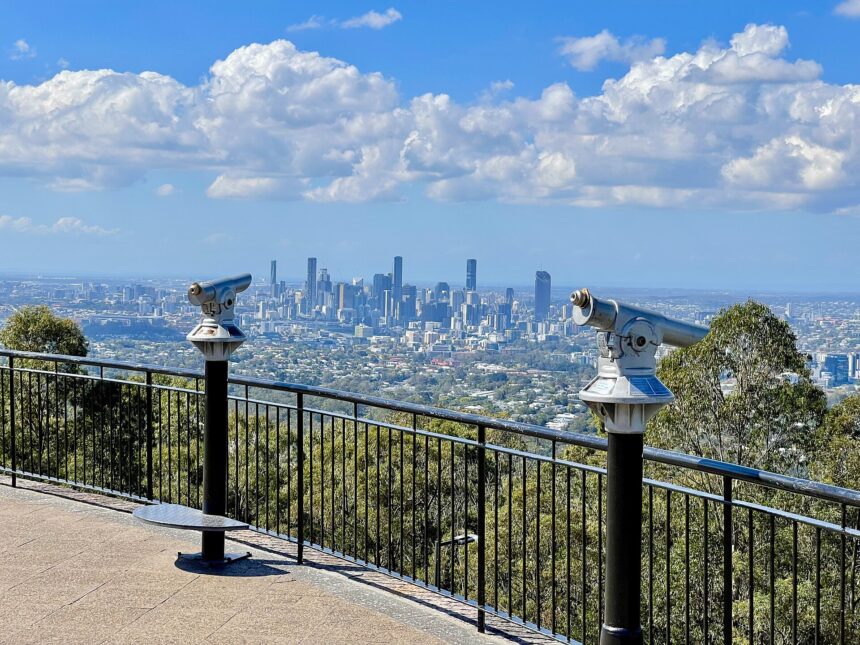
Summit Track. The council walking tracks page lists the Summit Track at 1.9 km (30 minutes). That page describes a mostly paved path up to the roundabout near the lookout, with some stairs. The beginner’s guide gives the same distance as 30 minutes each way. It also mentions a cafe at the lookout.
Simpson Falls Track. Listed at 650 m (40 minutes). Council says every visit to the falls is different, and describes a flowing waterfall after heavy rain. The beginner’s guide calls it a good track for wildflowers in late winter and spring.
Discovery Trail and extension. The beginner’s guide lists these at 1.6 km (30 minutes).
Longer walks
Honeyeater Track. The two council pages describe the start differently. The walking tracks page says this moderately challenging return route starts at Sir Samuel Griffith Drive near the Reservoir Trail car park. The beginner’s guide says it begins off Sir Samuel Griffith Drive near the Mt Coot-tha Lookout and goes down to Fleming Road in Chapel Hill. Check the track map and signage before choosing a trailhead.

Mahogany Trail. Both pages list 2.6 km but differ on time: 1.25 hours on the walking tracks page and 1.5 hours in the beginner’s guide. The walking tracks page describes it as a shared-use track for walking and riding bikes or horses. The beginner’s guide says connecting to the Citriodora Trail (via Summit Track) makes a 4.5 km circuit walk.
Eugenia Circuit. Listed at 2.8 km (1.5 hours) in the beginner’s guide. The walking tracks page describes it as winding past eucalypt woodland, through vine forest and across creeks.
Spotted Gum Trail. The beginner’s guide lists 250 concrete steps along the way.
Dogs
Dogs on the walking tracks must be kept on a lead, with waste disposed of responsibly. For off-leash exercise, council names Merri Merri Park and Green Hill Reservoir Park.



Before you go
- Council says the mountain bike network will be closed during and immediately following wet weather events. Walkers should still read signage, as council advises checking onsite signage for the latest trail access and closure information.
- The beginner’s guide warns that some tracks cross creek lines and are unsafe to cross when flooded after heavy rain.
- It also notes that some parts of the mountain do not receive mobile coverage.
- The council forest page offers a walkers’ track map PDF, listed as last modified December 2021.
Frequently asked questions
How long is the Summit Track at Mt Coot-tha?
Council lists it at 1.9 km, 30 minutes (30 minutes each way in the beginner’s guide), as checked 9 November 2026.
Are dogs allowed on Mt Coot-tha walking tracks?
Council says dogs must be kept on a lead and waste disposed of responsibly.
Are all tracks walking-only?
No. Council describes the Mahogany Trail as shared-use for walking and riding bikes or horses.