

- Postcode
- 4101
- Council
- Brisbane City Council
- Region
- Brisbane
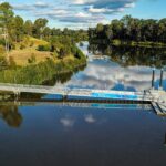
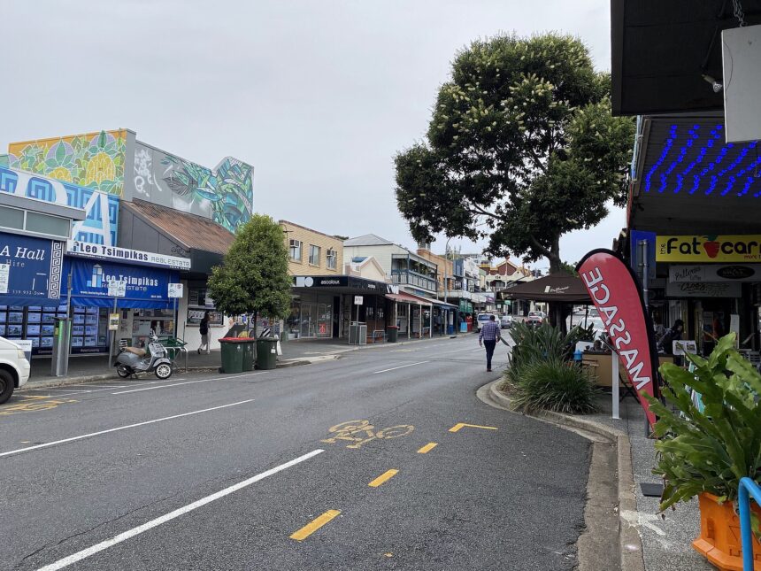
West End is an inner-city Brisbane suburb on a bend of the Brisbane River.
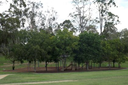
West End is an inner-city Brisbane suburb sitting on a bend of the Brisbane River, just south-west of the CBD. Brisbane City Council’s park listings include Davies Park, where the council page notes two multi-use courts for court sports and that the park is part of the Southern Suburbs Rugby League Football Club. Queensland Government boundary data shows West End adjoining Highgate Hill, South Brisbane and St Lucia, and Australia Post lists West End with Highgate Hill and South Brisbane under one postcode. Other parks, transport and dining details have not been re-confirmed from official pages and are left out of this guide for now. Check the council website for current park details before you go.
Parks and amenities
Sources
- Brisbane City Council (accessed 2026-11-09)
- Wikipedia (postcode, LGA and neighbours cross-check only) (accessed 2026-11-09)
- Australia Post (accessed 2026-11-09)
- Queensland Government (QSpatial locality boundary) (accessed 2026-11-09)
Explore West End
See all- Business
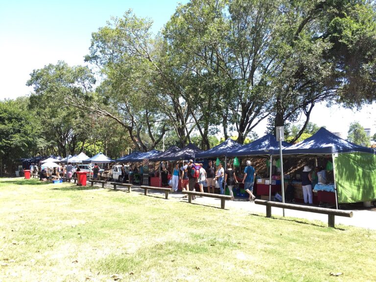
West End Markets