


- Postcode
- 4101
- Council
- Brisbane City Council
- Region
- Brisbane
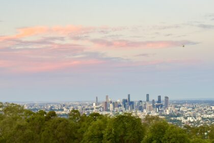
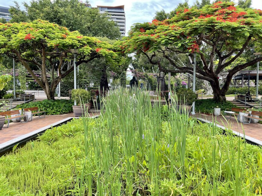
South Brisbane sits on the southern bank of the Brisbane River and is best known for the South Bank Parklands.
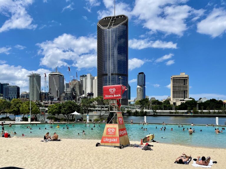
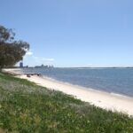
South Brisbane sits on the southern bank of the Brisbane River, across from the CBD, and is best known for the South Bank Parklands, where Streets Beach is a drawcard. Brisbane City Council’s Brisbane Metro guide suggests getting off at South Bank busway station for the parklands and Streets Beach. Musgrave Park on Cordelia Street is described by council as one of the city’s oldest public parks, with an accessible playground, and South Brisbane railway station on Grey Street is on the Queensland Heritage Register. Queensland Government boundary data shows South Brisbane adjoining Highgate Hill, West End, Woolloongabba, Kangaroo Point and the Brisbane City locality. Check official pages for current details.
Parks and amenities
- South Bank Parklands, with Streets Beach
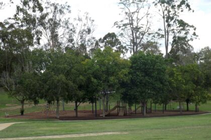
- Musgrave Park on Cordelia Street, described by council as one of the city’s oldest public parks, with a playground designed for accessibility and inclusion
Family activities
Getting around
- South Bank busway station is the stop council suggests for reaching the parklands and Streets Beach on Brisbane Metro
- South Brisbane railway station, 133 Grey Street, a Queensland Heritage Register place
Sources
- Wikipedia (secondary cross-check) (accessed 2026-11-09)
- South Bank Corporation (accessed 2026-11-09)
- Brisbane City Council (accessed 2026-11-09)
- Brisbane City Council Heritage Register (accessed 2026-11-09)
- Brisbane City Council (accessed 2026-11-09)
- Australia Post (accessed 2026-11-09)
- Queensland Government (QSpatial locality boundary) (accessed 2026-11-09)
Explore South Brisbane
See all- Attraction
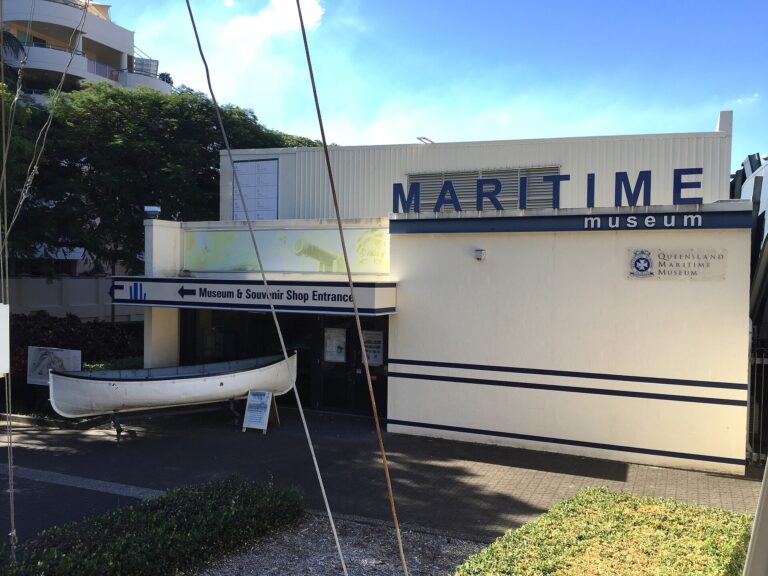
Queensland Maritime Museum
- Attraction
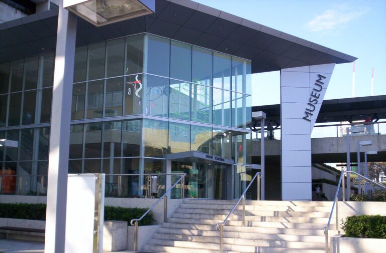
Queensland Museum
- Attraction
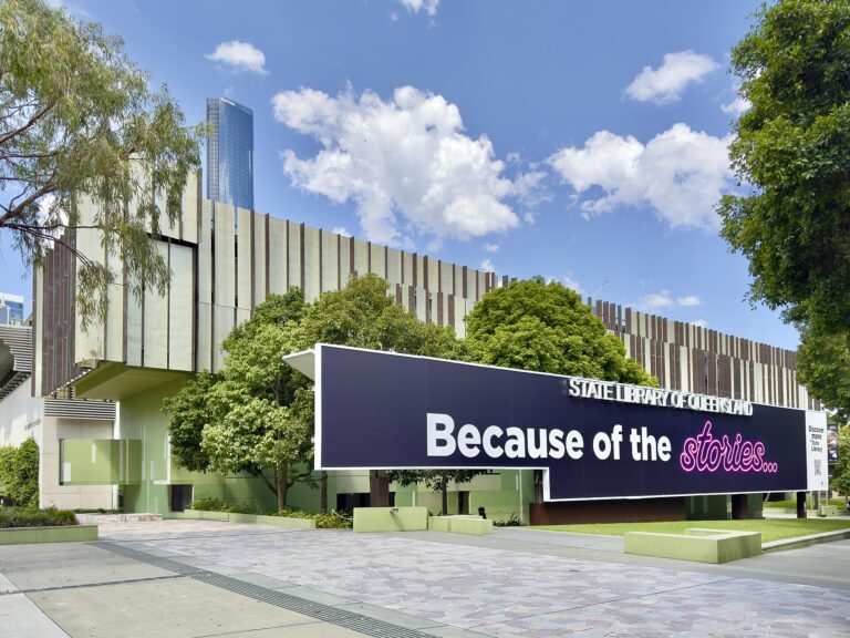
State Library of Queensland
- Attraction
Streets Beach
- Attraction
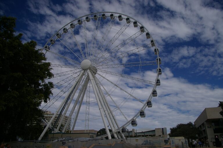
Wheel of Brisbane