
- Postcode
- 4122
- Council
- Brisbane City Council
- Region
- Brisbane
A hilltop bushland reserve and a council renewal precinct define Mount Gravatt.
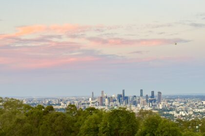
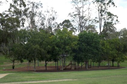
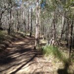
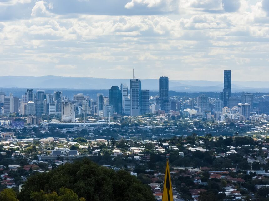
Mount Gravatt takes its name from the hill that rises above the suburb, where Mount Gravatt Outlook Reserve and its lookout sit at the edge of the Toohey Forest area. Brisbane City Council’s reserve page lists bushwalking trails, and at the summit a cafe, playground and toilet block. Council has completed its Mt Gravatt Centre Suburban Renewal Precinct Plan, which took effect in Brisbane City Plan 2014 in September 2026. Queensland Government boundary data shows Mount Gravatt adjoining Mount Gravatt East, Holland Park West and Upper Mount Gravatt. It is a good pick for a bush walk with city views; check council pages for current track and facility details.
Parks and amenities
Family activities
Eat, drink and shop
Sources
- Brisbane City Council (accessed 2026-11-09)
- Brisbane City Council (accessed 2026-11-09)
- Brisbane City Council (accessed 2026-11-09)
- Australia Post (accessed 2026-11-09)
- Queensland Government (QSpatial locality boundary) (accessed 2026-11-09)